Lancaster - Boys Industrial School in 2023
Photos by William Kaiser
Our photographer, William Kaiser, was asked to find any traces of the five-mile Lancaster Traction & Power Co. electric line between Lancaster and the Boys Industrial School. Service ended to the BIS in 1937 and presumably, the tracks were taken up and scrapped at that time.Eighty-five years later (March 2023) Mr. Kaiser was able to take 24 photos showing traces of the LT&P right of way.
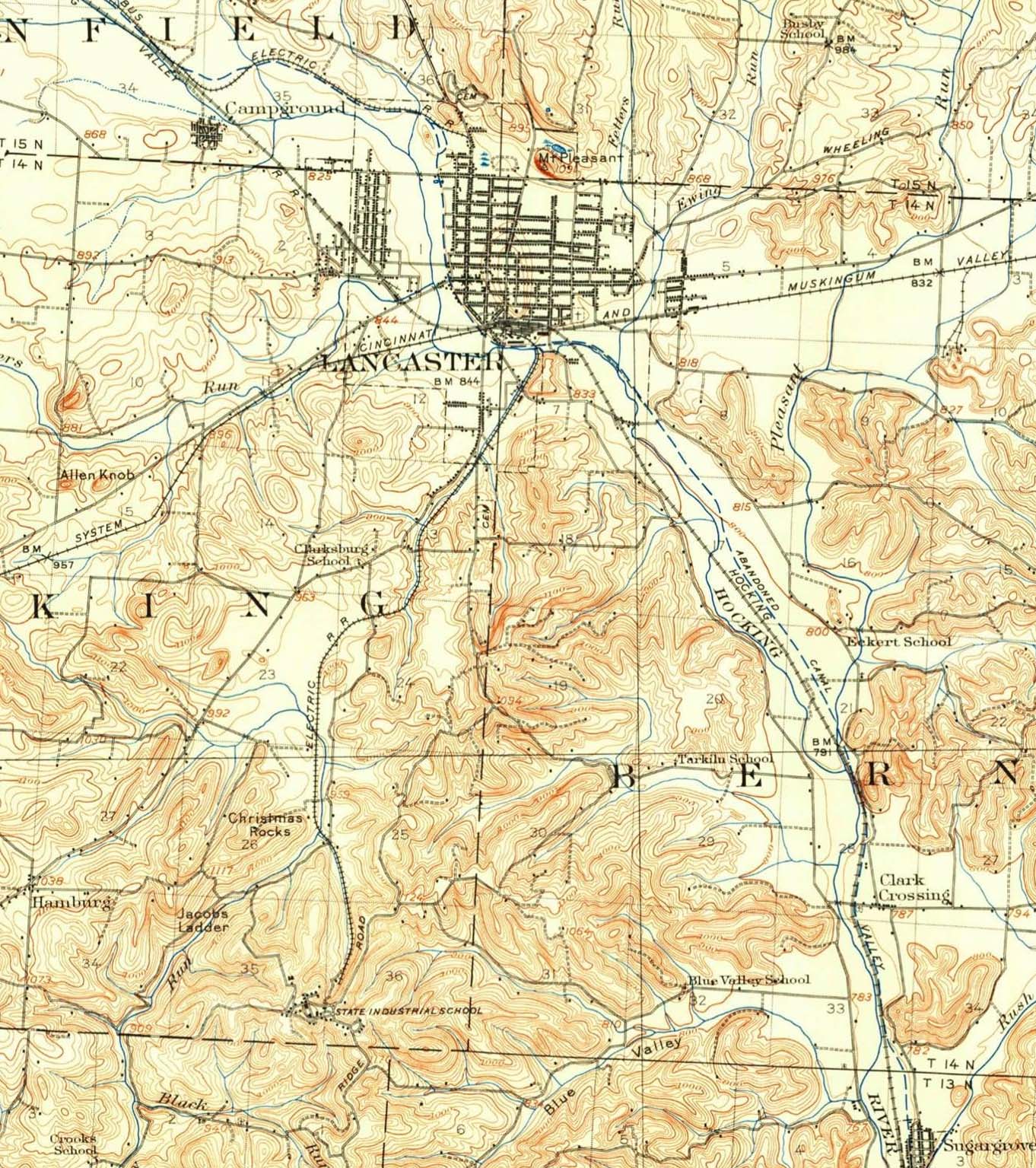
The tour of the old line starts near the interchange with the Pennsylvania Railroad just south of the PRR Lancaster depot. He found the abutments for the bridge over the Hocking River and many sections that suggested where the long-abandoned railroad right of way lay.
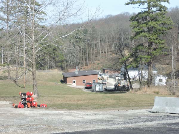
At the BIS end of the line, the stone water pumping station and well caps have been replaced with a much less elegant steel building. The stairs and path leading to the school are gone and overgrown with vegetation.
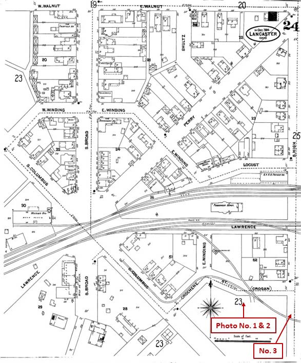
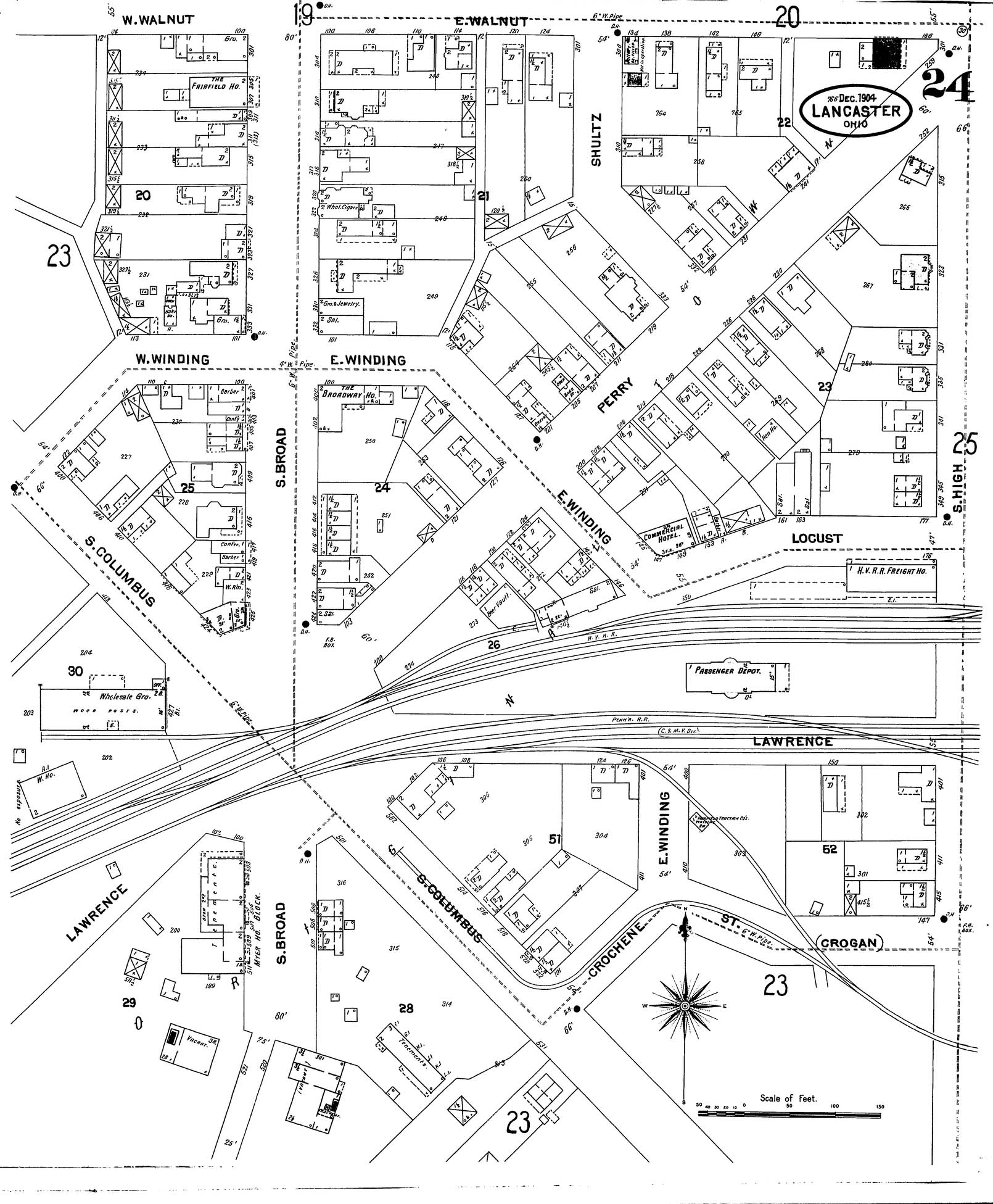
Lancaster-BIS Map, photos 1-3 with map key - without map key
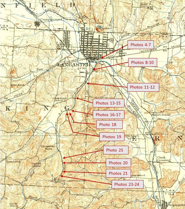
Lancaster-BIS Map, photos 4-25 with map key - without map key
Click to enlarge
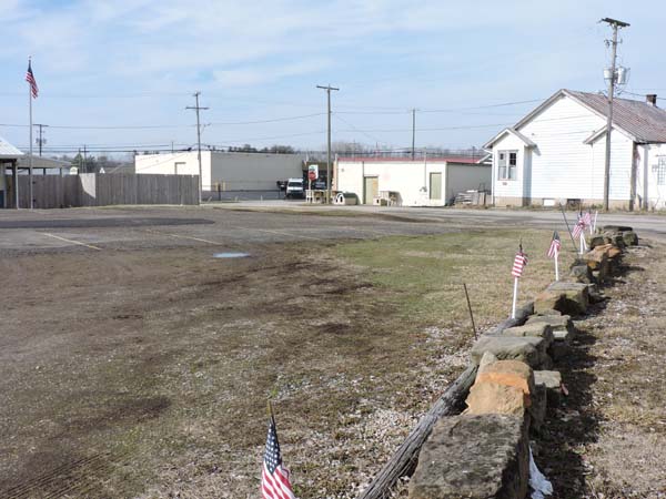
Photo No. 1, the camera is looking toward Lancaster where the route to the BIS turned off of Columbus Avenue onto Grogan St. and the beginning of private right of way.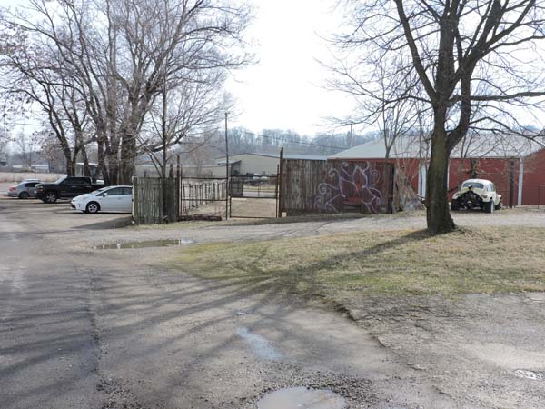
Click to enlarge
Photo No. 2, the camera is looking toward BIS and the beginning of the private right of way. The right of way goes through the gates following the curve of the fence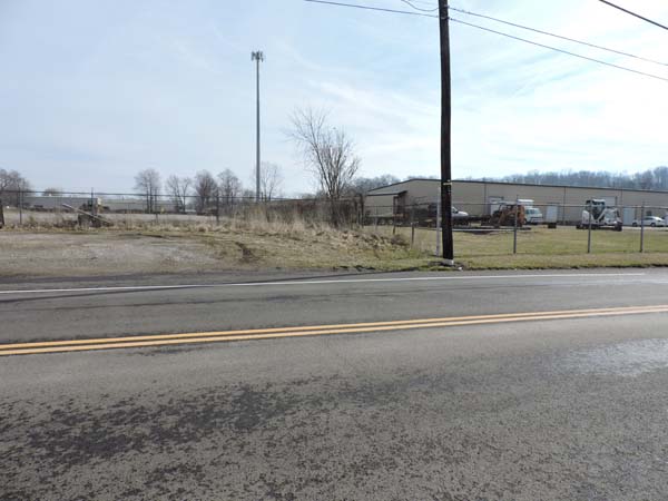
Click to enlarge
Photo No. 3, the camera is looking across S. High Street toward BIS. The right of way follows the fence line curving away towards the cell tower.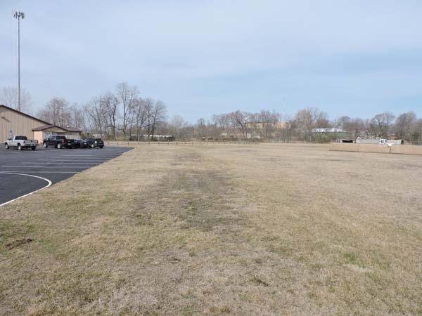
Click to enlarge
Photo No. 4, the camera is looking toward Lancaster with the photographer standing on the right of way. The route curves away towards the left behind the same cell tower seen in photo-3. There are still ties in the ground here.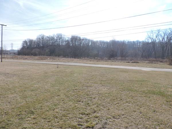
Click to enlarge
Photo No. 5, the camera is looking toward BIS. The photographer has turned 180 degrees on the same spot used in photo-4.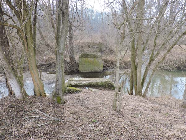
Click to enlarge
Photo No. 6, the camera is looking toward BIS. The abutments of the Lancaster Traction bridge over the Hocking River are still in place.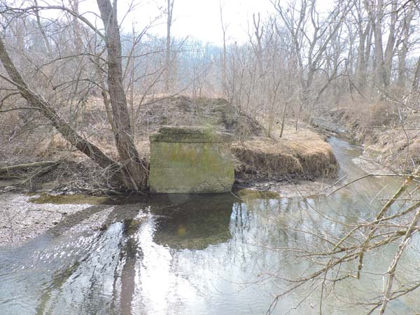
Click to enlarge
Photo No. 7, The camera is looking toward BIS. Tarhe Creek, on the right, is joining the Hocking River. The traction line follows Tarhe Creek for over half it's length.Tarhe Creek was named for Tarhe, "The Crane," a Wyandot Indian leader who played an important role in the War of 1812.
Click to enlarge
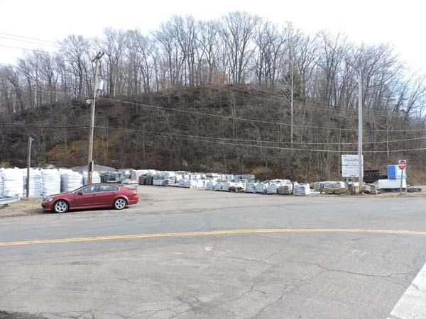
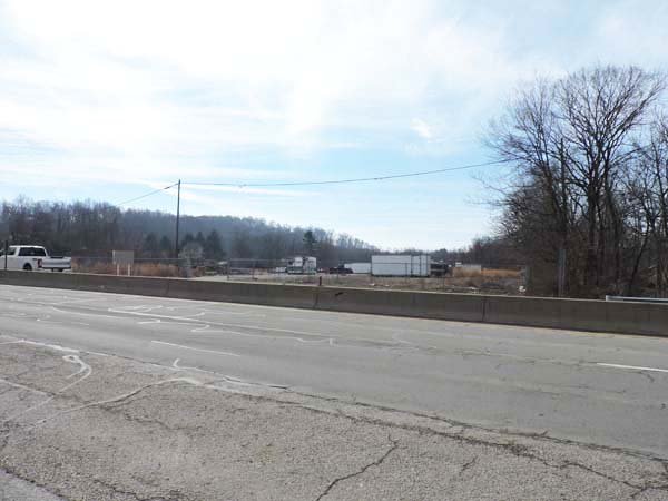
Photo No. 8, the camera is looking toward Lancaster at the site of the right of way crossing of old Route 33.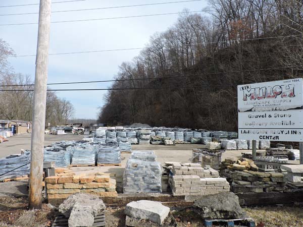
Click to enlarge
Photo No. 10, the camera is looking toward Lancaster.This is the same area as shown in Photo Nos 8 & 9. The right of way is the main drive for the Ohio Mulch Materials yard.
Click to enlarge
Photo No. 9, the camera is looking toward BIS, Tarhe Creek is on the right.In the 1970s there was a plant on this site that was still served by rail. It may have been the live stub of the old trolley route. It seemed odd because an at-grade crossing of a limited access highway was unusual at the time.
Click to enlarge
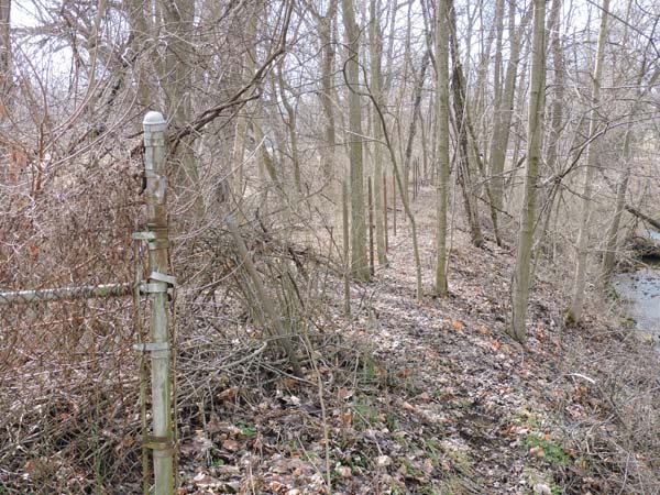
Photo No. 12, the camera is looking toward BIS, Tarhe Creek is on the right. The center of the right of way is the fence post line. The road (BIS Road) over the creek can be seen through the trees on the right.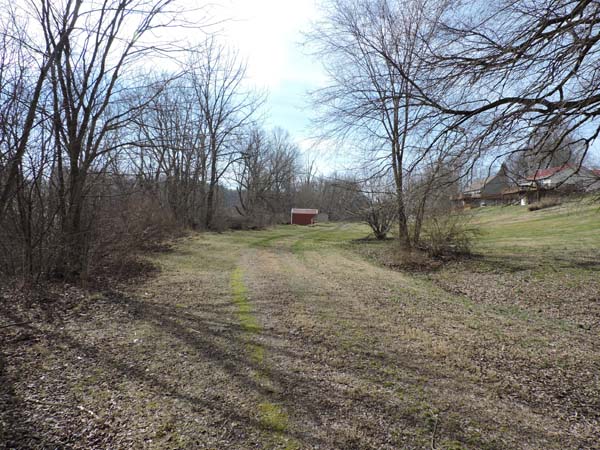
Click to enlarge
Photo No. 11, the camera is looking toward BIS, Tarhe Creek is now on the left. Behind the camera the route crossed the creek and BIS Road with a one bridge solution. It had to cross the road as the road crossed the creek.Looking forward the right of way here (just beyond the curve) is now an alley for the houses to the right.
Click to enlarge
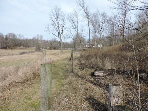
Photo No. 13, the camera is looking toward Lancaster. The right of way follows the fence line.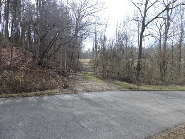
Click to enlarge
Photo No. 14, the camera is looking toward BIS from the same spot as Photo 13. The right of way is the path. Mill Road SW is crossing the photo. Just beyond the fallen branch the right of way is buried by new grading.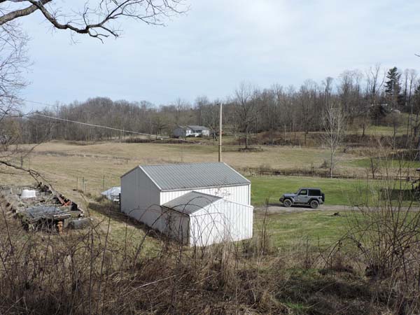
Click to enlarge
Photo No. 15, looking back across the valley at the right of way in the same area as photos 13 & 14. Tarhe Creek is in the swale behind the Jeep. The right of way is the horizontal line just below the house in the distance. Lancaster is to the left.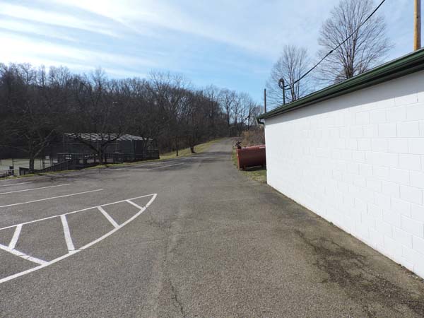
Click to enlarge
Photo No. 16, the camera is looking toward the BIS. The right of way is the curving path next to the building. This site is the maintenance area of a local country club now. 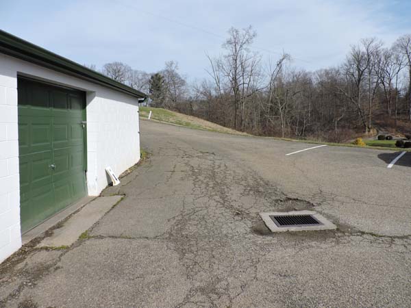
Click to enlarge
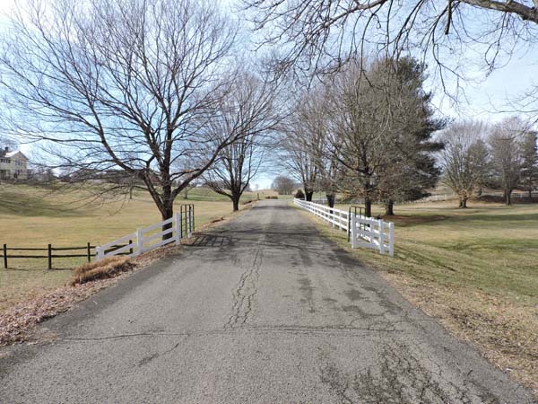
Photo No. 17, the camera is looking toward Lancaster from the same location as Photo-16.The grading in the area has changed to suit the Country Club. The right of way had to come across the defile in the distance according to the map. It had to be on a trestle.
Click to enlarge
Photo No. 18, the camera is looking toward the BIS. The right of way is now the driveway for the Country Club. Note the copse of trees in the distance off the end of the driveway as they are in the next photo.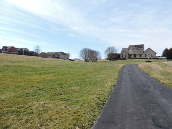
Click to enlarge
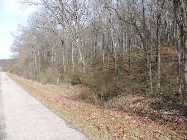
Photo No. 19, the camera is looking toward the BIS. The entrance to the country club is behind the photographer. The right of way is in the swale in front of the camera. It goes through the trees and curves off to the left behind the houses towards the hay bales in the distance. The high ground behind the bales is Christmas Rocks. The bales are pretty close to the top of the grade. The grade is quite steep through here.
Click to enlarge
Photo No. 25, the camera is looking toward Lancaster. The right of way is the hump beside Christmas Rock Road SW. 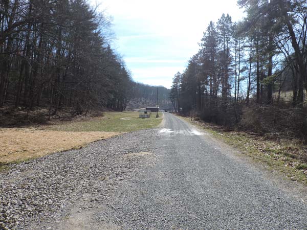
Click to enlarge
Photo No. 20, the camera is looking toward the BIS. The replacement pumphouse for the original stone structure is in the distance.
Click to enlarge
Photo No. 21, the camera is looking toward Lancaster. The new pumphouse area from the other direction. The pickup truck next to the pumphouse is on the right of way. Grading may have changed in more recent times. The right of way could be buried under the white shed.
Click to enlarge
Photo No. 24, the camera is looking toward Lancaster. The new pumphouse and well caps lack the charm of the original stone structures. This is the area where the traction line terminated and the passengers had to climb the stairs to the BIS.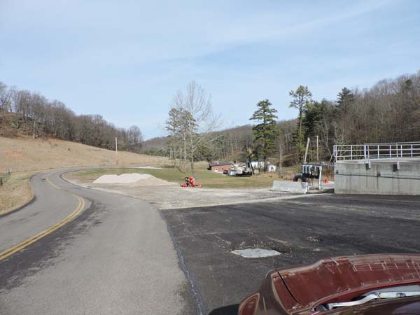
Click to enlarge
Photo No. 23, the camera is looking toward Lancaster. The camera is slightly higher in the valley looking down into the pumphouse area. Christmas Rock Road SW leads to the Southeastern Correctional Institution, behind the camera, the replacement for the Boys Industrial School.